UHRS Consultancy

The pursuit of excellence
UHRS Consultancy

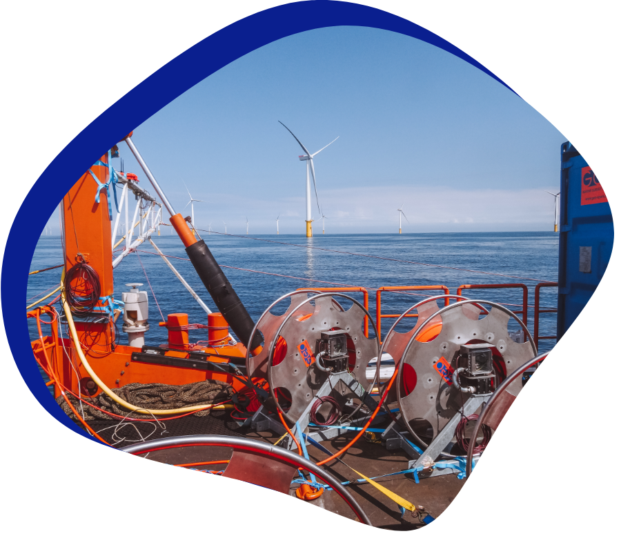
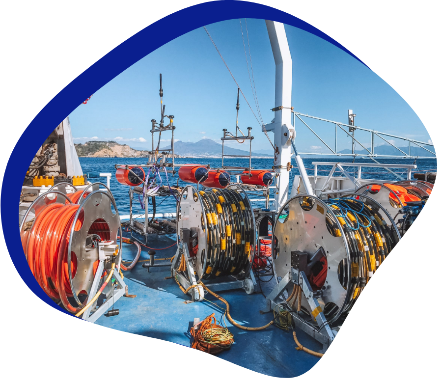
GeoSurveys, in partnership with Geo Marine Survey Systems, deploys a complete suite of technologies aiming at the enhancement of seismic data imaging. We provide solutions for high-resolution single and multichannel seismic 2D/3D acquisition in marine and fresh water environments.

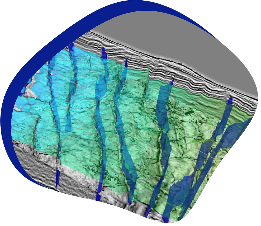
Our team has vast experience in the design, planning, operation of systems, quality control of data, data processing and interpretation of 2D /3D UHRS surveys. Our solutions have been successfully implemented in a large variety of complex and challenging scenarios, from very shallow waters (2 to 6 meters water depth) to deep water (up to 3000 meters abyssal depths), very steep slopes of canyon margins and headwalls, delta fronts, reefs, etc., as well as the ever-challenging glacial deposits worldwide.

LET'S TALK ABOUT UHRS Consultancy

In GeoSurveys we have solutions and inovation for our clients


    WE INNOVATE

    Check all GeoSurveys related services

    ALL SERVICES
    UHRS Turnkey Services

    UHRS Turnkey Services

    UHRS Consultancy

    UHRS Consultancy

    Survey Design and Planning

    Survey Design and Planning

    UHRS Data Processing

    UHRS Data Processing

    UHRS Data Interpretation

    UHRS Data Interpretation

    Onshore and Nearshore

    Onshore and Nearshore

    GEOSURVEYS IN NUMBERS

    World class assets
    and expertise


    since


    +

    projects completed


    +

    clients


    +

    countries worldwide

    CLIENTS AND PARTNERS

    We work with the best clients

    Thumbnail of
    Thumbnail of
    Thumbnail of
    Thumbnail of
    Thumbnail of
    Thumbnail of
    Thumbnail of
    Thumbnail of